Sunday 28 November 2010

Ten sunny miles

Sun 28th Nov. 2010
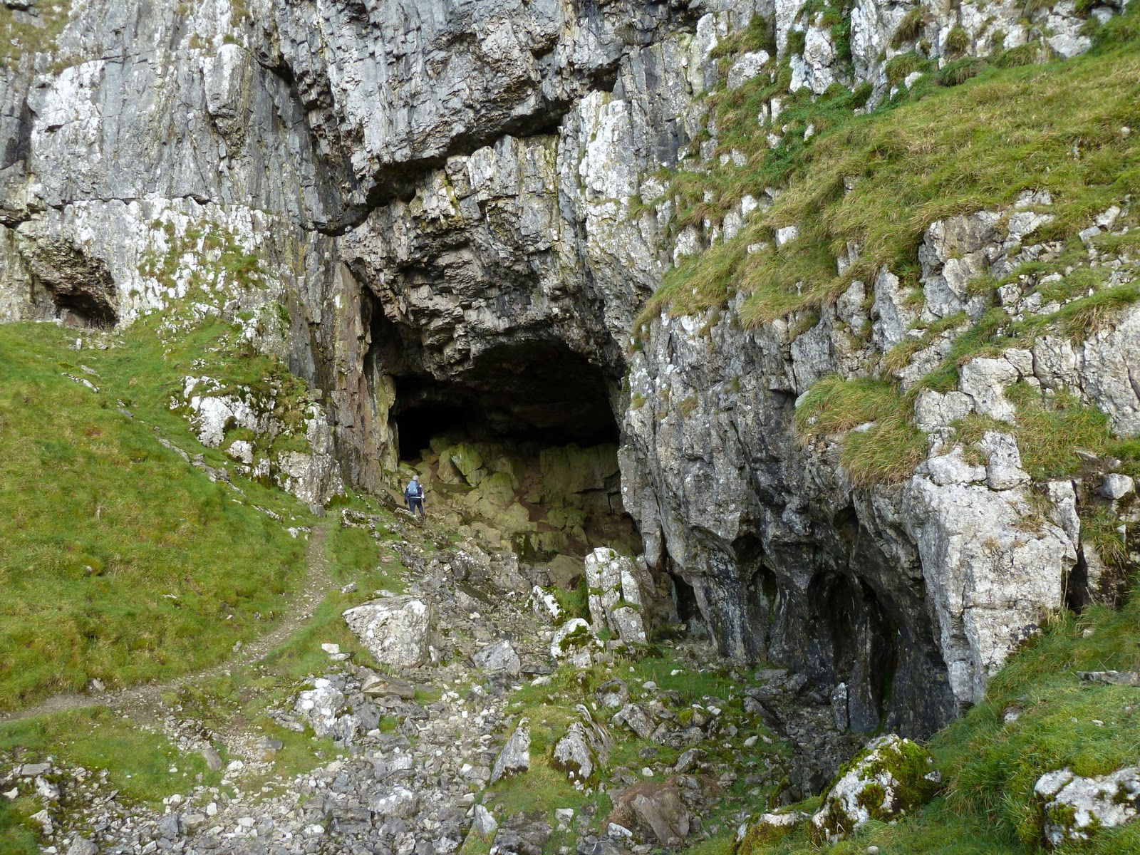
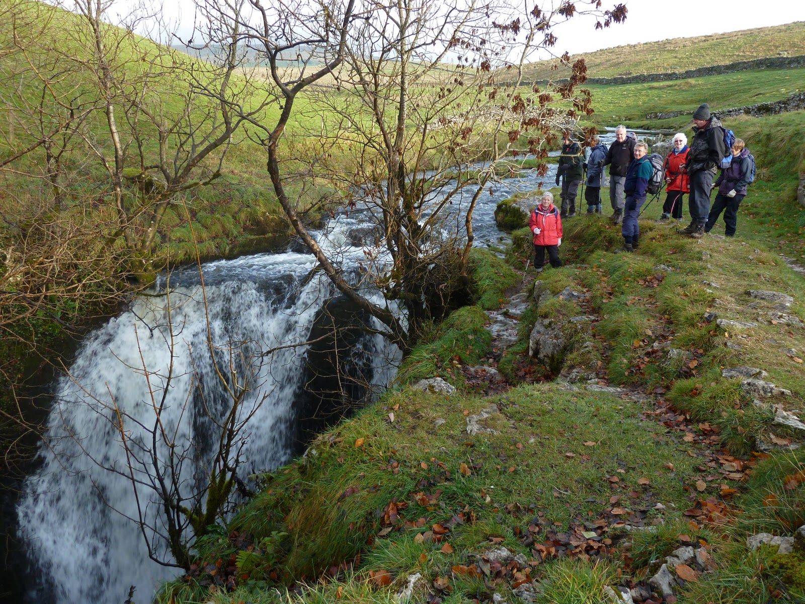
                             Today's walk was on our doorstep being never more than 5 miles from most of our homes. It's a walk that I've that done a few times but on the return homeward we ensured that we'd walk on some of the more obscure paths to give us different views that we wouldn't normally see. We've been lucky with the weather in our area missing the snowfalls and only having a dusting. Today it was gloriously sunny but cold -7c at the start of the walk and never getting above zero all day. Not a lot to see on the nature side, a couple of Dippers on the hill streams, 3 Roe Deer, a couple of Snipe and a flock of Fieldfare. The walk was just over 10 miles the day being very invigorating in the cold frosty air.

                         Walking above the Amergill Valley

              The highest part of the walk the top of Weets Hill 1300ft.


             Looking north up Ribblesdale with Pen-Y-Ghent to the right

                                          Pendle Hill

                                     The distant Howgill Fells


Blacko Tower a local landmark with the town of Nelson in the background

                       The view towards Foulridge, on our way back

 Slipper Hill Res. one of the many feeder Reservoirs for the Leeds-Liverpool Canal


Monday 22 November 2010

Snow flurries on the Fells

Monday 22nd Nov 2010
                 The weather yesterday was much colder with a keen NE wind so it was a case of keep moving or your cold. The walk on the Bowland Fells up Parlick Hill then along the ridge to Fair Snape Fell (the height about 1700 ft) was about 6 miles .In the distant North Wales was just visible and through the binoculars the Isle of Anglesey could just be seen very faintly.Throughout the walk we had our first snow showers of the winter, not a lot to see naturewise just a few Red Grouse but a least we got out.


            Prepairing for lunch, the dry stone wall giving good shelter from the keen NE wind


                            Striding out towards the summit

                               On the summit of Fair Snape Fell


                   The walk back via the valley below Bleasdale Fell

Tuesday 16 November 2010

A walk in limestone countryside to Catrigg Force

Tues 16th Nov. 2010
       Because of all the wet weather during the past few days our walk on Sunday was in the drier limestone area around Settle in the upper Ribble valley.This upland area to the east and north east of Settle is much drier because of the limestone's free draining soil. The length of the walk ....71/2 miles.


                                    The view back to Pendle Hill

Victoria Cave ....Animal bones have been found dating back 130,000 years and in more recent times after the last Ice Age, Brown Bear and Reindeer bones and a 11,000 years old antler harpoon point was found with evidence of the first people of the Yorkshire Dales living in the cave.


 Looking northwest to the snow covered Lake District fells in the distance to the left of the hills

                          The unmistakable outline of Pen-Y-Ghent

             Catrigg Force where the water plunges down into the gorge


Catrgg Force

                      The bridleway down to the village of Stainforth

                                           Stainforth


Thursday 11 November 2010

Weather Window

Thursday 11th Nov.2010
                                    How can three days be so different weather wise ? Monday was cold with gales and driving rain and sleet and on the higher hills in our Pennines.... snow, today we're back to the same old weather except it's milder this morning it's 7c. Yesterday was a gem of a day with almost unbroken sunshine, very little wind and excellent visibility, so Audrey and myself did a brisk walk to the top of Pendle Hill 1831 ft, we were rewarded with extensive views of the surrounding Pennine fells and clear views of the Lake District mountains and these mountains are at least 50 miles away. This gave me the opportunity of trying out the telephoto end of my new camera.

                              Pendle Hill from Newchurch in Pendle

                           The shortest route to the top


                 The distant central mountains of the Lake District

                    Telephoto of the Central Fells of the Lake District

                         Telephoto of the Eastern Lake District Fells

                                     Telephoto of Ingleborough

                                   Telephoto of Pen-y- Ghent

        Across the dales to the snow covered summit of Great Whernside

                                       Great Whernside

                             Me looking rather dishevelled

                   Looking S.E. over the towns of Nelson & Colne

                          A final view across the Ribble Valley

                          Back down to the village of Barley


Sunday 7 November 2010

Craven Country

Sun. 7th Nov. 2010
                 Today our weekend walk was in the lovely craven countryside about 15 miles from where we live.
This was a circular walk from the village of Airton following the River Aire along the Pennine way to the hamlet of Hanlith then a climb up out of the valley across Hanlith Moor to Weets Top, a climb of about 700ft.We returned across Calton Moor gradually loosing height  down to the small village of Calton and then back on the road for a short distance to the riverside at Airton , the walk was a good 7 miles.


Along the fast flowing river Aire

We bypassed Malham with the famous Malham Cove in the background

                 Looking north to the limestone cleft of Gordale Scar
                                          Hanlith Moor


        The walk back across Calton Moor with Pendle Hill in the distance


                  Almost the end of the walk the.... village of Calton